Tropical Depression Romina Enters Philippine Area, Signal No. 1 Declared in Kalayaan Islands
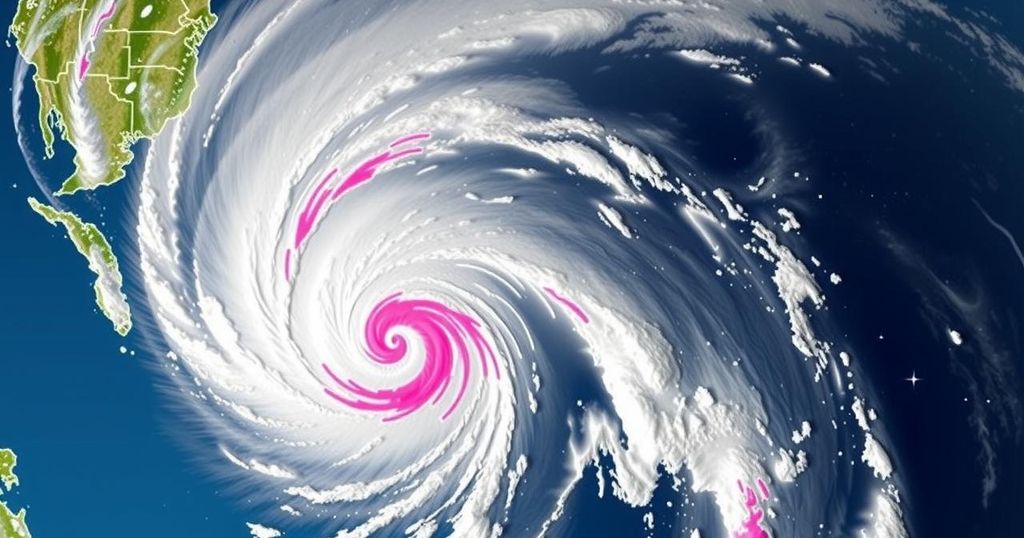
PAGASA raised Tropical Cyclone Wind Signal No. 1 over the Kalayaan Islands as Tropical Depression Romina entered the Philippine Area of Responsibility. At 11 a.m., it was located 365 kilometers south of Pag-asa Island, with maximum sustained winds of 55 kph. Mariners are advised to exercise caution as wave heights may reach 4.5 meters in various regions. Romina is expected to move north-northwestward and may briefly strengthen before weakening again.
On December 22, the Philippine Atmospheric, Geophysical and Astronomical Services Administration (PAGASA) declared Tropical Cyclone Wind Signal No. 1 over the Kalayaan Islands as Tropical Depression Romina entered the Philippine Area of Responsibility (PAR). At approximately 11 a.m., Romina was located about 365 kilometers south of Pag-asa Island, moving north-northeastward at a speed of 30 kilometers per hour. The depression possesses maximum sustained winds of 55 kph and gusts reaching up to 70 kph.
Signal No. 1 indicates possible minimal to minor impacts from strong winds, particularly affecting coastal and upland areas exposed to these winds. Forecasts suggest that these areas might experience slightly stronger winds than those in sheltered locations. Should Romina increase in intensity, it may escalate to Signal No. 2.
PAGASA has issued warnings regarding hazards in coastal waters, predicting wave heights of up to 4.5 meters in specific areas, including the Batanes, Babuyan Islands, Ilocos Norte, and Kalayaan Islands. Mariners are advised to remain in port or seek shelter immediately if underway. In addition, various regions are expected to experience rough seas ranging from 2.0 to 4.0 meters, urging caution among small vessel operators.
Currently, Tropical Depression Romina is projected to shift track north-northwestward later in the day and west-northwestward thereafter, with expectations to approach the southern Kalayaan Islands within a 24-hour period. While brief intensification into a tropical storm may occur, prolonged forecasts indicate a return to tropical depression status thereafter.
The declaration of Tropical Cyclone Wind Signal No. 1 is a precautionary measure used by PAGASA to inform citizens and mariners of potential impacts from the developing weather system. The warning includes information regarding wind strength, expected wave heights, and overall safety advisories for coastal activities. Tropical depressions, although less intense than tropical storms or cyclones, can still pose significant risks due to associated strong winds and heavy seas, particularly in exposed regions of the Philippines.
In summary, the issuance of Signal No. 1 reflects the impending approach of Tropical Depression Romina, signaling possible strong winds and hazardous sea conditions, particularly in coastal areas. Mariners are strongly advised to remain cautious, and the projected trajectory of Romina suggests notable changes in its intensity over the coming hours. Continued monitoring from PAGASA will be essential as the situation develops.
Original Source: www.philstar.com


Post Comment