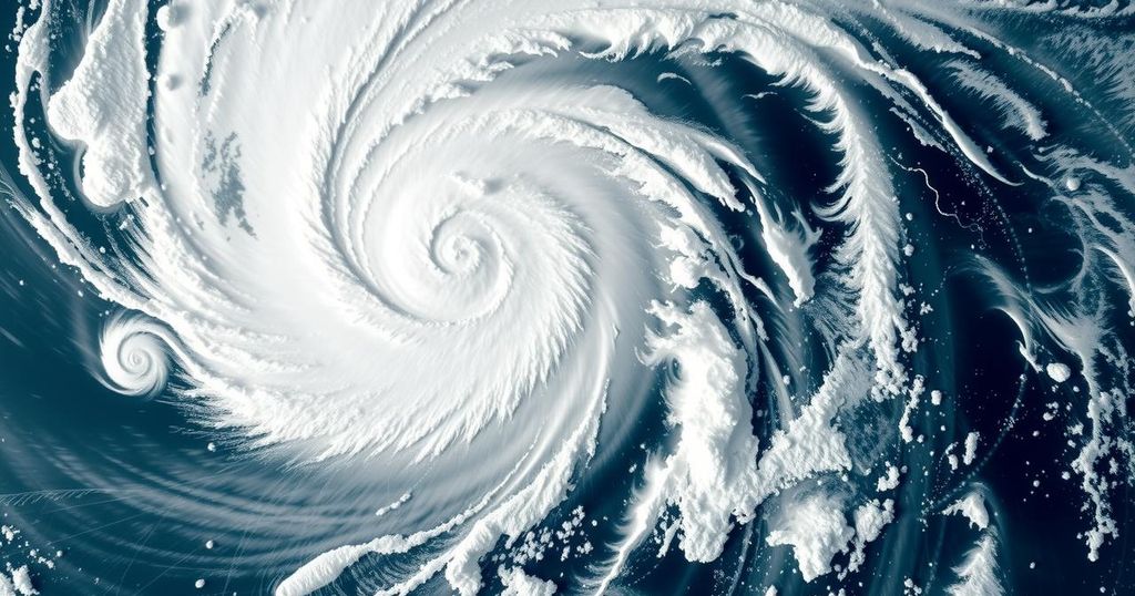
Severe Tropical Storm Chido Approaches Madagascar: Impacts and Forecasts
Chido, a severe tropical storm in the Indian Ocean, is on course for Madagascar, potentially making landfall by December 13. Sustained winds currently reach 95 kilometers per hour, with forecasts suggesting strengthening. Divergent projections between meteorological agencies create uncertainty regarding the storm’s intensity on approach. The cyclone season is just beginning, with many more storms expected as conditions become favorable.
In the Indian Ocean, a new severe tropical storm named Chido has formed, exhibiting significant intensification since its formation on December 10. Currently, Chido boasts sustained winds of 95 kilometers per hour and is located approximately 500 kilometers east-southeast of Agalega, Mauritius. Forecasters have indicated that Chido is tracking westward toward Madagascar, potentially making landfall by December 13, which could result in strong winds and rainfall across the northern regions of the island nation. Expected wind speeds may escalate up to 138 kilometers per hour as it approaches.
Despite the potential for landfall, the exact prediction about whether Chido will strike directly or pass nearby remains uncertain due to variable forecast models. Various institutions, including Meteo-France and the Joint Typhoon Warning Center (JTWC), provide diverging assessments on Chido’s strength, with Meteo-France anticipating that it could escalate to tropical cyclone status while JTWC suggests it may remain slightly weaker due to prevailing wind shear conditions.
The Southern Hemisphere’s cyclone season has only just commenced, with Chido being the third named storm and fourth tropical system of the season thus far. With numerous names yet to be utilized for the current season, tropical cyclone activity is expected to persist throughout the coming weeks as ocean temperatures reach their peak, which is a critical factor for cyclone development. Chido’s progress will be closely monitored as the cyclone season unfolds, highlighting the need for vigilance in the affected regions of Madagascar.
The article discusses the emergence of Chido, a severe tropical storm in the Southwest Indian Ocean, and its projected impact on Madagascar. It highlights the characteristics of the storm, such as its wind speed and trajectory, as well as the uncertainty surrounding its potential landfall. The article also contextualizes Chido within the broader scope of the cyclone season, detailing factors that influence its intensity and forecasting discrepancies among meteorological agencies. A significant emphasis is placed on the science behind tropical cyclone development, notably the role of warm ocean waters and wind shear, which is vital for understanding the current and future tropical systems in the region.
Chido is a severe tropical storm expected to approach Madagascar by December 13, bringing potential wind and rainfall impacts. The varying predictions between Meteo-France and the JTWC emphasize the complexity of forecasting tropical cyclones. As the cyclone season progresses, it is crucial to remain alert for further developments. With this active season underway, the likelihood of additional storms remains high as environmental conditions become more favorable for cyclone formation.
Original Source: earthsky.org


Post Comment