Understanding the Impending Bomb Cyclone Impacting Washington State
A bomb cyclone, expected to intensify in the Pacific Ocean, could bring strong winds and significant weather changes to Washington State. With a potential drop in pressure of 50 millibars, gusts may reach 65 mph in certain areas. Residents should prepare for impacts particularly on Tuesday evening.
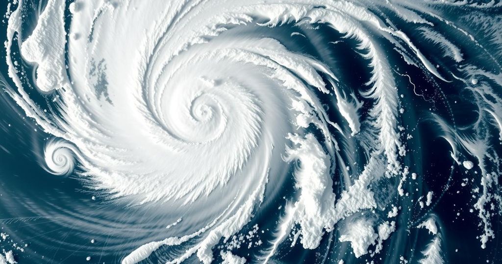
A significant storm system, termed a “bomb cyclone,” is forecasted to intensify rapidly in the Pacific Ocean, prompting warnings for residents of Washington State. The term “bomb cyclone” originates from “bombogenesis,” which denotes a storm’s drastic drop in atmospheric pressure—specifically, a decrease of at least 24 millibars within a 24-hour period. In this instance, projections indicate a potential decrease of approximately 50 millibars between Monday evening and Tuesday, suggesting the severity of the storm. The importance of monitoring the pressure of a storm cannot be understated, as larger pressure discrepancies can lead to more forceful winds, akin to a vacuum drawing in air. For Washington residents, easterly and southeasterly winds are anticipated to emerge Tuesday evening as air is funneled through the Cascade Mountains toward the ocean, where the low-pressure system resides. While the center of this intense system will remain offshore, it is expected to approach the region, resulting in significant wind activity. Residents in western Washington, particularly those in eastern Snohomish, King, and Pierce counties, may experience winds that could reach up to 65 mph in localized gusts, with sustained winds ranging from 25 to 40 mph on land. While offshore winds could achieve hurricane strength, it is prudent to note that residents should not anticipate such extreme conditions onshore. As this meteorological event evolves swiftly, it is crucial to remain vigilant as variations in storm trajectory and speed may influence wind intensity and timing. As the situation develops, further forecasts will clarify expected impacts, especially for coastal areas and communities anticipating harsh weather conditions throughout the incident.
A bomb cyclone is meteorologically defined by rapid intensification, characterized by a powerful drop in atmospheric pressure. It has broader consequences on weather patterns, particularly wind strength. Understanding the implications of a bomb cyclone enables residents to prepare for potentially severe wind and weather conditions, particularly in coastal regions and areas affected by strong weather systems.
In conclusion, Washington State residents should prepare for a potentially severe bomb cyclone, marked by significant wind gusts and atmospheric pressure drops. While the storm is expected to remain offshore, it may still impact inland areas with strong winds and unpredictable weather patterns. Adapting to these conditions is essential to ensure safety and readiness as the situation unfolds.
Original Source: www.fox13seattle.com


Post Comment